Connecting the Lost Sierra
July 13, 2022
This is a food blog now.
No, no, just kidding. But when you are able to bikepack from town to town, you end up eating. A lot.
But before getting into our trip report, a resounding thank you to the Sierra Buttes Trail Stewardship who has been working tirelessly on the Connected Communities project. That was really the motivation for this route, and these connections are only going to get better and better as time goes on. Linking these communities through the mountains of the Lost Sierra, no matter how or why you do it, is something special.
Last summer we needed a quick and semi-local trip to satisfy our craving to get out in the woods after what felt like an endless year of moving (us and my mom) that could be routed and executed easily. Since we know the Lost Sierra area fairly well, it seemed like a solid destination to cover a couple hundred miles in just under a week. Also, since our route went through or stopped in a town each day, that meant we had to carry very little in the way of food or supplies.
Much like our Oregon trip the year before, we found ourselves starting during a heatwave. A risk of planning summer trips I suppose, but I guess we should enjoy what we have because this might be the coolest summer for the rest of our lives. The forecast solidified our decision to start with a shuttle up to Packer Saddle rather than climb from town. Trying to fall asleep in our room at the Downieville River Inn on the eve of the trip, we hoped for dreams of cooler evenings in the Lost Sierra.
Day 1 brought us to Packer Saddle, surrounded by people ready to shred the gnar while we got ready to immerse ourselves in it for the next 6 days. The lack of oxygen quickly made itself known as we pedaled up Gold Valley Rim Trail, getting our first peek into the Lakes Basin. We longingly stared at the Perfect Cycling Trail (PCT) before jumping onto our fireroad descent to Gold Lake and our lunch date at Gray Eagle Lodge after picking our way through the fun and techy Long Lake Trail. Hot pepperoni pizza with cold beer and lemonade after a shuttle and a few hours of descending certainly rates as one of the better starts to a bikepacking trip. We still had many miles left in the day, so we soon were back on the bike, descending more singletrack into Graeagle for a road connection to Portola.
With a stop in the town of Portola for a quick pumptrack lap at the community park, and a smoothie from the Feather River Food Coop (a million thanks to the gal working who had already shut down the machines for the afternoon, but took pity on our overheating bodies and made us smoothies anyway), we were back on the road for the last few miles up to a campground at Lake Davis.
A word to the wise; just because a campground does not provide bear boxes, does not mean there are no bears. After a midnight snack-finding mission by what we can only assume is BooBoo's second cousin, we hung our bear bag in the bathroom because there were no trees or areas away from other campers. Adam was up listening for a better part of the night to other campers trying to scare the bear away as he made his rounds. This has proved yet again to be the best reason to NOT stay in actual campgrounds. Bears are smart, they know where the low hanging fruit sleeps. At least when you are dispersed camping, there are plenty of options to hang food far away from camp, without bothering your neighbors.
Day 2. After that less than peaceful night's sleep, we were back on singletrack for a bit, winding around Lake Davis before jumping back onto fireroads and heading toward Antelope Lake. Sadly the camp store was closed when we arrived, dashing our hopes of something cool to drink, or perhaps a frozen treat. This day was another scorcher, so we stayed at the lake for a mini-siesta, waiting out the hottest portion of the day.
 |
| Antelope Lake was the perfect spot to waste a few hours during the hottest part of the day. |
 |
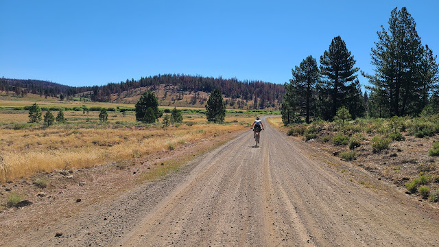
| The climb up Daimand Mountain Road was made more intense by the recent burn scar, leaving little to no shade on the southern side. |
 |
| But, if we hadn't made an accidental detour, we would have missed this cool tunnel! |
 |
| Mariposa lily; Calachortus macrocarpus (?) |
 |
Along the Bizzy J there are a couple camp grounds in areas that used to be train stations, and there was running water. It also made for a nice shady spot for a snack. |
The Bizz Johnson Trail ends just before the town of Westwood. After a photo-op with the giant Babe the Blue Ox, and a quick dip in a neighborhood sprinkler, we headed along the east shore of Lake Almanor. This was possibly the least desirable section of our route, because it's a narrow road with no bike lane, and lots of lake traffic. In talking with some folks familiar with the area, it sounds like there are some really great dirt roads to connect from Westwood south towards Greenville, but the Dixie fire had just ripped through the fall before, and the conditions were unknown up on the ridges, so we played it safe due to being on a short timeline. This is certainly going to be a piece that the Connected Communities and possibly portions of the Orogenesis Trail work are going to greatly improve in the future.
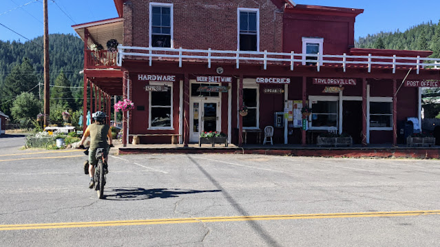
In random vacation sightings, Ana's childhood friends Katie & Mark were up at Lake Almanor with their three boys at a friend's cabin. We weren't sure how timing was going to work out, but sure enough as we were riding along the road, Katie drove by in the other direction, and we were able to stop and cool off with some watermelon at the cabin before continuing on to Taylorsville. We passed through the town of Greenville which had been completely decimated by the Dixie fire in 2021. The high school was still standing, as well as the Evergreen Market, where we stopped for some snacks. There were not many other buildings left intact, but the people were out, the store was busy, and the town felt like it was still fighting for it's life. It brought back a lot of memories of Santa Rosa after the Tubbs fire, and it was hard not to feel a bit of PTSD.
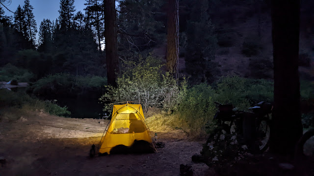
That night we camped at Taylorsville Park Campground, splashed around in the river, but were too slow getting down to the Pub to have a drink. We also left too early the next morning to hit up Young's Market, which we had been looking forward to, but they don't open until 10am. Next time we'll have to get into town earlier to do both.
Day four started with a doozy of a climb up China Grade Road (average 16% grade over 4.5 miles) straight out of Taylorsville. The paperboy route was in full force all the way up, with our eye on the prize of knowing we'd get to descend Mount Hough on the other side. At least you get the climb over quickly. There are other ways to the top, which we had done before during early Grinduro events, but sometimes it's fun to see something new and we don't always make the best decisions. Coming from the Taylorsville side of the mountain, you meet up with the Mount Hough singletrack just a couple miles from the top, which leaves about 9 miles of sweet, sweet, SBTS built singletrack all the way to Quincy.
 |
| IYKYK |
 |
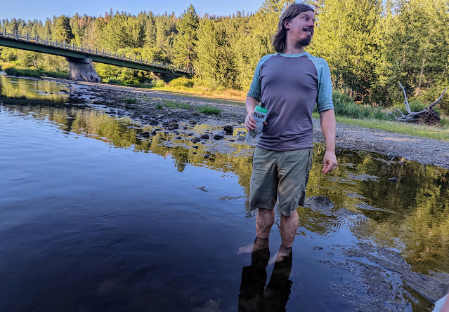
| One of the great things about this route is there was either a lake or river to swim in every day! |
Before heading into town for dinner, we made a stop at the new Yuba Expeditions Adventure Center in Quincy, where we were in search for some beta for our next leg. Big thanks to the guys at the shop who steered us away from our original leg of what might have been the most endless windy road climb and then UP Nelson Creek (which we would do on a later trip on unloaded bikes - wowza is that a cool trail!), and gave us a way to go out of Sloat and up Eureka Ridge Road instead. The guys were also able to confirm that motos had been up along A-Tree area, and Lavezzola Road, so our planned route back to Downieville should be clear. The ridges in the Lost Sierra get hammered with snow and downed trees every winter, so it's always a good idea to get confirmation that trails are clear before heading out - or be prepared to clear them yourself! Huge thanks to all the folks that work each year to make that very remote area rideable.When we got into Quincy, we were sad to learn that we happened to show up for the last day of business at Jeffrey's but we were sure happy to have a burger, and fries, and beer. We backtracked a bit to the river in hopes of finding a good spot to camp, but that was seemingly a popular idea. Eventually a family who had been hanging for the day packed up their car, and we were able to grab the perfect spot along the river. (There's a really cringy story here about the "older" folks having sex directly across the river from our initial camp spot, but that's probably better told in person over a beer, and really that pretty much sums up how we wasted another hour looking for a better spot).
Day 5 started with breakfast at Morning Thunder Cafe which will be hard pressed to beat for the best breakfast award. A short charge outside the Safeway while we grabbed lunch supplies, and we were on the road. We made our way to Sloat, where we filtered water (there are no resupplies in Sloat), then out of Sloat and onto the wildflower-lined dirt roads leading up to Ross Camp for our final night.
 |
| The big Middle Fork Feather River goes right through Sloat, but doesn't have much access from the road. The better water fill spot was just back down the road, along a creek. |
Day 6 was a short climb up to A-Tree, a spot known to PCT hikers for it's spring water access, and down we went towards Downieville! We've ridden Lavezzola Road a couple of times, so we certainly knew what we were in for, but it didn't make the loose babyheads any smaller or more manageable, especially on a loaded bike (babyheads = medium sized, loose river rocks covering a trail for any non-bike family members reading). But, it's still one of our favorite trails. Don't let the word "road" fool you in the name - this is all chunky, spewy moto trail for the first few miles, then turns to beautiful singletrack.
To learn more about Sierra Buttes Trail Stewardship Connected Communities mission, visit here! These routes from town to town are only going to get better, and we sure can't wait to try this again in a few years.


Comments
Post a Comment